Earn a GIS Certificate at Colorado Mountain College
Develop Geographic Information Systems skills and start a career in a fast-growing field
Geographic Information Systems is used in almost every field - from environmental consulting and economic analysis, to urban planning and transportation management.
It's no wonder the Bureau of Labor Statistics estimates a 29 percent increase in the Geography field (includes GIS) by 2022.
The GIS certificate can help give you the knowledge and training you need to take advantage of this growing job market.
GIS integrates hardware, software and date to capture, analyze and display information in a way that audiences can understand. It helps us visualize, interpret and understand spatial data to reveal relationships, patterns and trends.
At Colorado Mountain College, you will have the unique opportunity to work with our community partners on real-world projects, building your personal GIS portfolio in the process. From environmental reclamation to county planning and beyond, you'll get hands-on experience with state-of-the-art GPS hardware and the latest GIS software.
Learn GIS Skills in a Real-World Environment
Our unique hands-on experiences will strengthen your skill set.
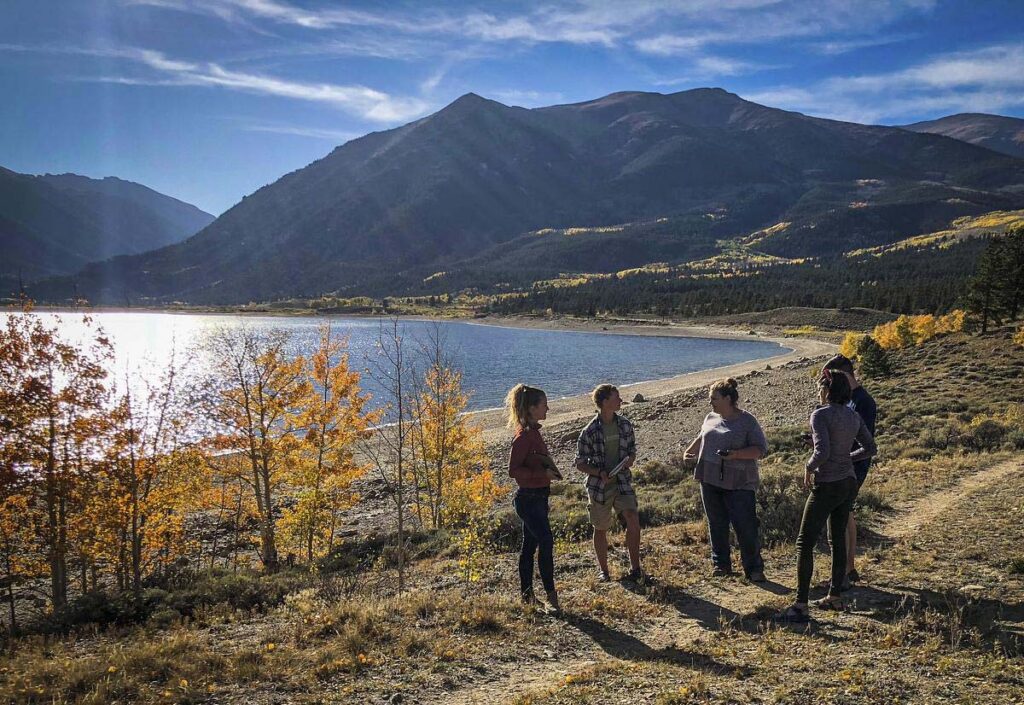
Colorado Mountain College's GIS program combines field and classroom work to provide in-depth, practical experience using GIS tools, software, and community projects that prepare students to enter the GIS workforce.
Students will learn mapping and spatial analysis skills with ESRI's ArcGIS, the dominant software in the GIS industry and gain exposure to open source tools including QGIS and Google Earth Engine. Additionally, students will use industry standard GPS devices to collect, integrate, and analyze data from the field.
Students pursuing the GIS certificate will complete projects with local conservation organizations, community groups, and government agencies. This project allows students to make real-world connections, utilize GIS / GPS in workplace settings, and build their project management and communication skills.
Apply Now and Get Started in a GIS Career
This certificate is designed for those students wishing to have practical experience and application utilizing geospatial software. Please see the GIS Curriculum (below) for information on course requirements.
Request Program Information
Rocky Mountain Land Management Internship
Work part-time with the USFS while earning a Sustainability Studies degree.
